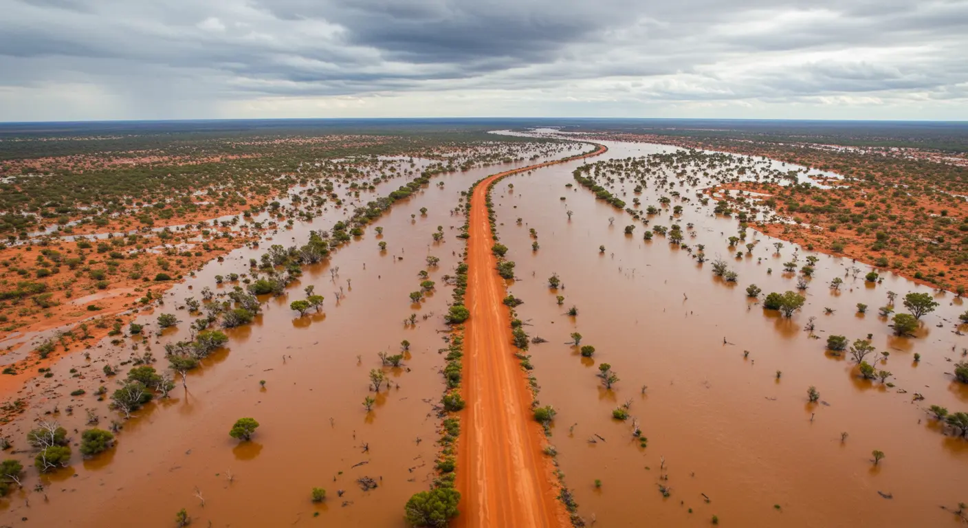
A powerful tropical weather system is bringing torrential rain, flash flooding, and severe storms to New South Wales this weekend, as a rare surge of equatorial moisture pushes across Australia’s east.

Outback Queensland was first to be hit, but as the system moves southeast, NSW is now directly in the path of dangerous conditions. Flood watches are in effect across northern and inland NSW, with authorities warning of possible emergency alerts in high-risk zones.
According to meteorologist Tom Saunders, the intense rainfall is the result of a combination of "very moist equatorial air" and a subtropical low-pressure system — a mix that almost always leads to widespread heavy rain.
Intense Rainfall Moves into NSW
The system dumped more than a month’s worth of rain in north-west NSW on Friday, including over 50mm in Bourke alone. With the low now moving toward the Tasman Sea, Brisbane, Sydney, and Canberra are bracing for 24-hour totals exceeding 50mm.
The Bureau of Meteorology (BoM) has flagged the potential for severe thunderstorms and flash flooding, especially along the NSW North Coast, Mid-North Coast, and Central Tablelands. The BoM’s high-resolution modelling suggests these regions may experience very intense rainfall over short periods.

Sunday: High Alert for NSW South Coast
While some areas may begin drying out by Sunday, the system could stall just offshore, interacting with the warm Tasman Sea. This may cause the rainband to loop back over land, delivering over 100mm of rain to the NSW South Coast and East Gippsland.
Damaging winds and large surf conditions are also expected, particularly from the Illawarra region down to the Victorian border.
More Rain Ahead: Second Tropical Low
As NSW grapples with the weekend's storms, another tropical low is developing inland from the Kimberley in Western Australia. While weaker, it is still expected to deliver 20–50mm of widespread rain across parts of central and eastern Australia mid-week.
Flood-affected communities in NSW could see delayed clean-up efforts as a result.

Major Rain Records Shattered
While the heaviest impacts were felt in Queensland, the numbers remain astonishing:
- Townsville: 369mm this week; 2,340mm YTD — just shy of its all-time record.
- Navarra (QLD): 520mm this month, beating its annual average.
- Brisbane: Wettest March since 1890 with over 500mm recorded.
These record-breaking totals will send water cascading into river systems across eastern Australia, including flows toward Kati Thanda–Lake Eyre, which could see partial filling over the coming months.
Stay Informed
With flood warnings active across NSW, residents are urged to:
- Avoid non-essential travel.
- Never drive through floodwaters.
- Monitor Live Traffic NSW and BoM warnings for updates.
This weather system may move offshore by mid-week, but another soaking looms just behind it. Stay alert, stay safe, and keep checking for updates on CarExplore.com.au.


