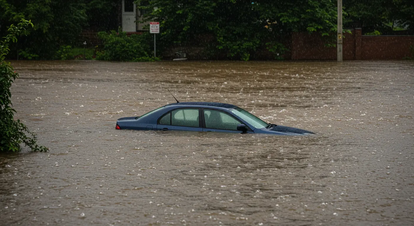
Queensland continues to experience significant flooding following intense and widespread rainfall across the region. Authorities urge residents and motorists to remain vigilant as numerous roads remain impacted by floodwaters. To ensure safety, motorists are advised to avoid driving through flooded roads, with authorities emphasizing the critical message: "If it's flooded, forget it."
The following is an extensive, updated list of currently flooded roads across various Queensland locations. Motorists should note that road conditions can change rapidly, and it is strongly recommended to regularly check the official QLD Traffic website for real-time updates before traveling.
Brisbane and Surrounding Areas:
- Creek Road, Carina
- Gympie Road, Carseldine
- Donaldson Road, Rocklea
- East West Arterial Road, Clayfield
- Bowman Parade, Bardon
- Gladys Street, Stones Corner
- Pratten Street, Corinda
- Molle Road, Gumdale
- Gap Creek Road, Kenmore Hills/Mount Coot-Tha
- Grandview Road, Pullenvale
- Formosa Road, Gumdale
Gold Coast Region:
- Tallebudgera Connection Road, Tallebudgera
- Somerset Drive, Mudgeeraba
- Gunsynd Drive, Mudgeeraba
- Clagiraba Road, Mount Nathan/Clagiraba
- Vince Hinde Drive, Worongary
- Highfield Drive, Merrimac/Robina
- Old Coach Road, Reedy Creek/Tallebudgera Valley
- Paradise Road, Larapinta/Willawong
- Berrigans Road, Mudgeeraba
Ipswich and Scenic Rim:
- Ipswich Boonah Road, Limestone Ridges/Peak Crossing
- Ipswich Rosewood Road, Jeebropilly
- Rosewood Warrill View Road, Lower Mount Walker/Rosewood
- Haigslea Amberley Road, Walloon
- Mt Crosby Road, Chuwar
- Ipswich Boonah Road, Washpool/Coulson
- Brightview Road/Staatz Quarry Road, Lockrose/Regency Downs
- Old Laidley Forest Hill Road, Forest Hill/Laidley North
Logan and Surrounding Areas:
- Logan River Road, Edens Landing
- Chambers Flat Road, Logan Reserve
- Pimpama Street, Waterford
- Albert Street, Waterford
- Dairy Creek Road, Buccan
- Holmview Road, Holmview
- Bahrs Scrub Road, Bahrs Scrub
- Stern Road, Carbrook
Caboolture and Moreton Bay Region:
- Beerburrum Road, Elimbah
- Ben Crescent, Caboolture South
- Blue Pacific Road, Deception Bay
- Old Bay Road, Deception Bay
- Caboolture River Road, Rocksberg
- Neurum Road, Woodford
- Old Cove Road, Woodford
- Williams Road, Moodlu
- Emu Road, Caboolture
- Old Gympie Road, Elimbah
- Visentin Road, Morayfield
- King Street, Caboolture
- Lindsay Road, Morayfield
Sunshine Coast and Hinterland:
- Clutha Creek Road, Tamborine
- Tamborine Mountain Road, Tamborine Mountain
- Laceys Creek Road, Laceys Creek
- Baker Road, Laceys Creek
- Best Road, Rocksberg
- Lees Crossing Road, Dayboro
- Williams Street, Dayboro
Toowoomba and Lockyer Valley:
- Moonie Highway, Moonie
- Laidley Road (Whites Road), Laidley
- Patrick Street (Plainland Road), Laidley
- Gatton Clifton Road, Mount Whitestone
- Gatton Esk Road, Spring Creek
- Cunningham Highway, Maryvale
- Gatton Esk Road, Adare
- Sandy Creek Road, Grantham
- Lawlers Road, Helidon
Western Queensland and Remote Areas:
- Airforce Road/Connors Road/Sandy Creek Road, Grantham/Helidon
- Ropeley Road, Blenheim
- East Haldon Road/Black Duck Creek Road, Junction View
- Woodlands Road, Blenheim
- Main Green Swamp Road, Morton Vale

The current flooding event has significantly disrupted travel plans, with motorists experiencing delays and diversions across the state. Authorities have highlighted the extreme risks associated with driving through floodwaters, emphasizing that conditions can deteriorate quickly and unpredictably.
Queensland authorities and emergency services have reiterated several critical safety messages for the community:
- Drive to the prevailing weather conditions.
- Always check the latest information from QLD Traffic before departing.
- Do not attempt to cross flooded roads under any circumstances.
- Heed local warnings issued by emergency services and councils.
Emergency rescue teams have already responded to numerous vehicle-related incidents across the state, underlining the importance of adhering strictly to these safety warnings. Several swift water rescues have occurred in areas including Eumundi and the Sunshine Coast, where rainfall totals have reached up to 300mm within the past few days.
Additionally, areas such as Gympie, Maryborough, Mackay, and Townsville continue to experience heavy rainfalls and elevated river levels. Floodwaters have led to multiple road closures, creating hazardous conditions and increasing the risk of vehicle entrapment.

The flooding has further impacted vital transport corridors, such as the Bruce Highway, particularly south of Proserpine at Goorganga Plains. Authorities are maintaining constant vigilance, with weather forecasts predicting ongoing rainfall throughout the weekend, especially across south-east Queensland.
In regions affected by major flooding, including Thargomindah in South West Queensland, rivers have reached historically high levels, second only to the 1974 flooding event. Residents in these impacted areas are strongly advised to remain cautious and stay informed on local developments.
The Queensland Government urges all residents and visitors to remain safe, avoid non-essential travel in affected areas, and consistently monitor the QLD Traffic website for real-time updates. The current flood conditions are dynamic, and road statuses may change rapidly as conditions evolve.
Stay informed, prioritize safety, and remember the critical rule: "If it's flooded, forget it."
